
Meteorological data
Type of resources
Topics
Keywords
Contact for the resource
Provided by
Years
Formats
Representation types
Update frequencies
status
-
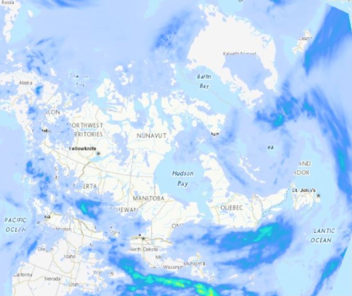
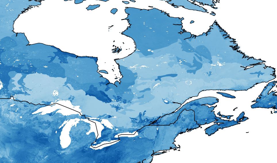
The Regional Deterministic Precipitation Analysis (RDPA) produces a best estimate of precipitation amounts that occurred over a period of 24 hours. The estimate integrates data from in situ precipitation gauge measurements, weather radar, satellite imagery and numerical weather prediction models. Geographic coverage is North America (Canada, United States and Mexico). Data is available at a horizontal resolution of 10 km. The 24 hour analysis is produced twice a day and is valid at 06 and 12 UTC. A preliminary analysis is available approximately 1 hour after the end of the accumulation period and a final one is generated 7 hours later in order to assimilate more gauge data.
-
WCPS-coupled forecast is the component in the Water Cycle Prediction System (WCPS) that provides the coupled atmosphere-ocean-sea ice forecasts at a 1km resolution (0.008 x 0.008 degree) over the Great Lakes, St. Lawrence River and the Gulf of St. Lawrence. It launches 4 times a day at 00, 06, 12, and 18 UTC and produces 84 hours forecast, based on the atmospheric model GEM, coupled with the ocean-ice model NEMO-CICE. The products from WCPS-coupled forecasts are (1) GEM : surface air temperatures, surface wind velocities, and surface runoff (2) NEMO-CICE : variety of lake/ocean sea ice variables, for example, lake levels and temperatures. They are designed to help forecasters issuing bulletins and warnings in ice-infestested waters for navigation, water level alert, emergency response, Search and Rescue, and CIS Sea Ice forecast.
-
Four ground-based radiometers (ultraviolet radiation instruments) were deployed in the Greater Golden Horseshoe Area in support of the Games. They reported minute-by-minute observations of the ultraviolet (UV) component of sun exposure as defined by the Global Solar UV Index (UVI). The ultraviolet index or UV Index is an international standard measurement of the strength of sunburn-producing UV radiation at a particular place and time. The readings from these sensors were used to inform the operational forecast program, particularly to provide data for validation of the UV index forecasts from the Environment and Climate Change Canada numerical modelling system. All data in these datasets are essentially ‘raw’, having undergone only minimal automated Quality Control (QC). The user is referred to an additional Instrumentation Metadata XLS file posted with the Datasets that describes specific data issues that the users must be aware of before using the datasets.
-
The Canadian Seasonal to Inter-annual Prediction System (CanSIPS) carries out physics calculations to arrive at probabilistic predictions of atmospheric elements from the beginning of a month out to up to 12 months into the future, resulting in seasonal forecasts. Atmospheric elements include temperature, precipitation, wind speed and direction and others. This product contains raw numerical results of these calculations. Geographical coverage is global. Data is available on a grid at a horizontal resolution of 2.5 degrees and 1 degree and for a few selected vertical levels. In addition, forecast probabilities for below, near, and above normal temperature and precipitation are available at both resolutions. Predictions and corresponding hindcast are made available monthly.
-
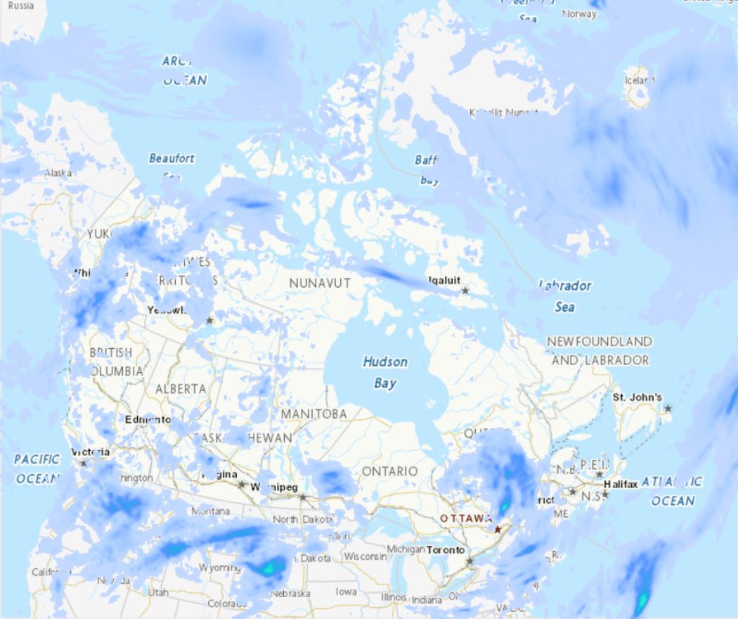
The Regional Deterministic Precipitation Analysis (RDPA) produces a best estimate of the amount of precipitation that occurred over recent past periods of 6 or 24 hours. The estimate integrates data from in situ precipitation gauge measurements, weather radar, satellite imagery and numerical weather prediction models. Geographic coverage is North America (Canada, United States and Mexico). Data is available at horizontal resolution of 10 km. Data is only available for the surface level. Analysis data is made available four times a day for 6h intervals and twice a day for the 24h interval. A preliminary estimate is available approximately 1h after the end of the accumulation period, and revised 7h after in order to assimilate gauge data arriving later.
-
The high spatial and temporal resolution network was comprised of new automated land- and marine-based weather stations, and additional experimental monitoring platforms. Environment and Climate Change Canada (ECCC) designed the Mesonet to monitor weather at the venues, while providing close tracking of southern Ontario lake breezes, which can be associated with severe weather initiation and high air pollutant concentrations. To track the lake breeze, existing land and marine monitoring capacity was identified and expanded to define the Mesonet. The Games hosted a number of open-water events in the inner harbour and south of the Toronto Islands, an area where the competition or logistics could be affected by thunderstorms, severe weather or heat stress. Marine buoys were part of the Mesonet system of additional monitoring technologies, with higher than standard temporal reporting, put in place to inform the ECCC forecast process. The more frequent reporting of marine weather conditions was a test and evaluation designed to determine whether it could provide an improvement in marine forecast accuracy or response times for alerts during active marine weather conditions. The AXYS WatchKeeper™ buoy is a self-contained, solar-powered data acquisition system outfitted with a suite of meteorological and oceanographic instrumentation to measure wind speed and direction, air temperature, atmospheric pressure, water temperature, and wave height, period and direction. This WatchKeeper™ buoy is the first in Canada outfitted with a cellular modem to enable the transmission of weather reports every 10 minutes (standard is once per hour), directly to CMC in Montréal. All data in these datasets are essentially ‘raw’, having undergone only minimal automated Quality Control (QC). The user is referred to an additional Instrumentation Metadata XLS file posted with the Datasets that describes specific data issues that the users must be aware of before using the datasets.
-
Environment and Climate Change Canada added 40 compact stations, 10 ATMOS stations and 3 standard automated MSC Auto8 stations to the existing networks to form a high-resolution monitoring system across southern Ontario known as the Mesonet. These stations provided both high-density spacing and high-frequency minute-by-minute observations. Standard meteorological variables were reported—atmospheric pressure, wind speed and direction, relative humidity, temperature and precipitation amounts—as well as a new element recorded by a black globe thermometer, used in the evaluation of heat stress on the human body. The new automated surface weather stations were configured to report every minute, a sharp departure from the standard hourly reporting. The minute-by-minute reporting was successfully implemented at all 53 new automated weather stations in the Mesonet. All data in these datasets are essentially ‘raw’, having undergone only minimal automated Quality Control (QC) (manual QC of the ATMOS Mesonet data will be posted to the Science Showcase section of the Legacy Archive, when available). The user is referred to an additional Instrumentation Metadata XLS file posted with the Datasets that describes specific data issues that the users must be aware of before using the datasets. Site photos for all 53 weather stations are available from the Legacy Archive Data Contact.
-
CaLDAS-NSRPS was installed as an experimental system within the National Surface and River Prediction System (NSRPS) at Environment and Climate Change Canada's (ECCC) Canadian Centre for Meteorological and Environmental Prediction (CCMEP) in July 2019. CaLDAS-NSRPS is a continuous offline land-surface assimilation system, which provides analyses of the land surface every 3 h over the domain of the High-Resolution Deterministic Prediction System (HRDPS) at a 2.5 km grid spacing. The emphasis in CaLDAS-NSRPS is to focus upon the assimilation of satellite based remote sensing observations to provide the optimal initial conditions for the predictive components of the NSRPS, the High Resolution Deterministic/Ensemble Land Surface Prediction System (HRDLPS/HRELPS) and the Deterministic/Ensemble Hydrological Prediction Systems (DHPS/EHPS). CaLDAS-NSRPS is launched 4 times per day, at 0000, 0600, 1200, and 1800 UTC.
-
NAV CANADA (NC) provided Environment and Climate Change Canada (ECCC) with automated minutely weather observations from six select AWOS stations (i.e. airport locations) in southern Ontario as an experimental, proof-of-concept program in support of the 2015 Games. The minutely data were at a higher temporal frequency than the hourly observations that are normally provided (sub-hourly weather specials, as required). The minutely data from these stations were considered raw and unofficial; observations can only be considered official after NC data processing and transmission to ECCC is in a specific format and fashion (as they are for hourly observations). For official automatic and staffed hourly observations for these and other airport locations in southern Ontario, please visit Climate Data Online (http://climate.weather.gc.ca) or consult ECCC’s Meteorological Service of Canada Climate Services group (ec.services.climatiques-climate.services.ec@canada.ca) for more information.
-
The Regional Deterministic Precipitation Analysis (RDPA) produces a best estimate of precipitation amounts that occurred over a period of 6 hours. The estimate integrates data from in situ precipitation gauge measurements, weather radar, satellite imagery and numerical weather prediction models. Geographic coverage is North America (Canada, United States and Mexico). Data is available at a horizontal resolution of 10 km. The 6 hour analysis is produced 4 times a day and is valid at 00, 06, 12 and 18 UTC. A preliminary analysis is available approximately 1 hour after the end of the accumulation period and a final one is generated 7 hours later in order to assimilate more gauge data.